

Description
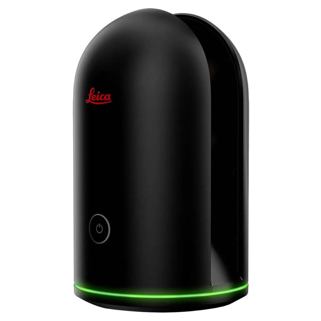
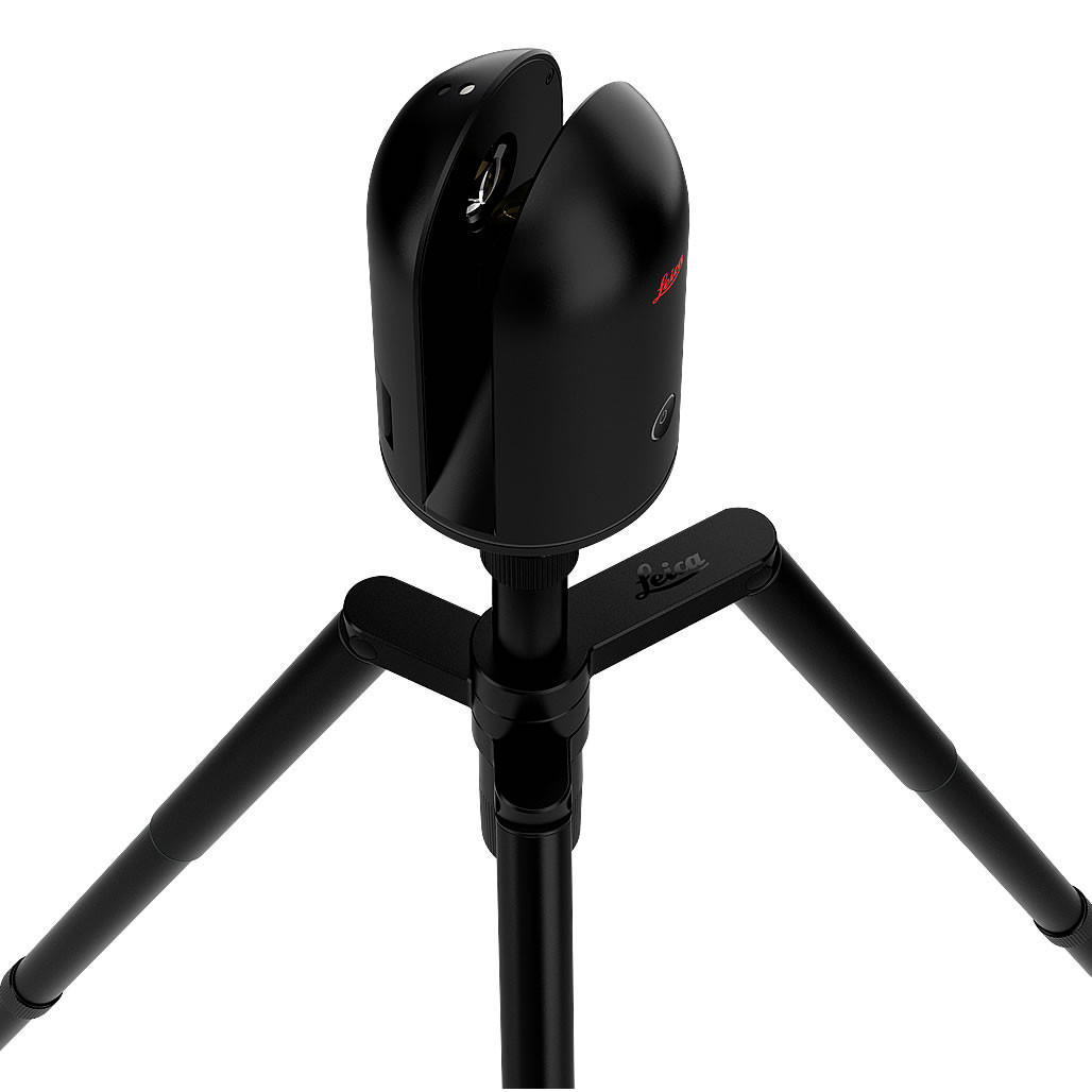
The BLK360 G1 is a compact imaging laser scanner that uses a 360° laser distance meter and high definition panoramic imaging to create a 3D point cloud of the space around it.
The Leica BLK360 G1 captures the world around you with full-colour panoramic images overlaid on a high-accuracy point cloud. Simple to use with the single push of one button, the BLK360 G1 is the second smallest and lightest imaging laser scanner of its kind. Anyone who can operate an iPad can now capture the world around them with high resolution 3D panoramic images.
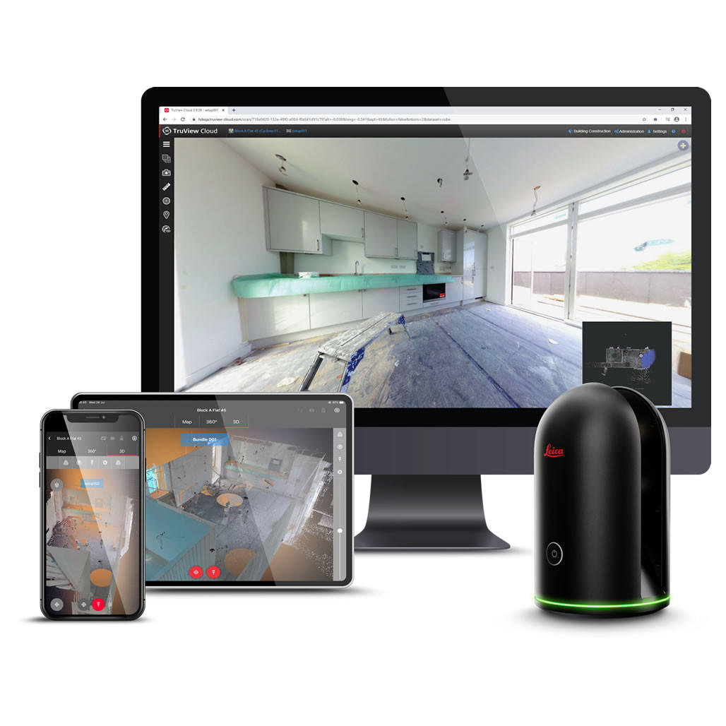
Using Leica Cyclone FIELD 360 mobile-device app, the BLK360 G1 streams image and point cloud data to an iPad or final project data to Cyclone REGISTER 360 or Cyclone REGISTER 360 (BLK Edition) via Wi-Fi. With automated workflows in both software offerings, the BLK360 plus the software solution of your choice, dramatically streamlines the reality capture process thereby opening this technology to non-surveying individuals. Simple export of LGS or RCP files makes working with point cloud data downstream in the Leica Geosystems and Autodesk suites simple and efficient, allowing users to spend less time processing data and more time creating meaningful deliverables.
BLK360 G1 imaging laser scanner
Allows you to scan in high, standard and fast resolutions
Weighs 1 kg / Size 165 mm tall x 100 mm diameter
Less than 3 minutes for full-dome scan (in standard resolution) and 150 MP spherical image generation
360,000 laser scan setpoints per second
High-Dynamic Range (HDR) and thermal imaging
Includes
Leica BLK360 G1 Imaging Laser Scanner
Leica BLK360 Transport Hood
Leica GEB212 Lithium-Ion Battery x3
Leica GKL312 Battery Charger
Leica GEV192-9 AC/DC Adapter
Leica Car Adapter for GKL312
Leica BLK360 Quick Guide
Leica BLK USB Documentation Card


Reviews
There are no reviews yet.